Features GC ÚPRAVY® Zemědělec
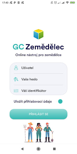
GC APPLICATIONS® Farmer lets you access agronomic data from a tablet or smartphone.
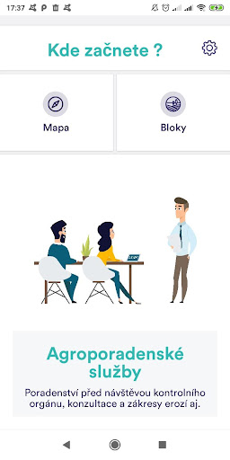
Directly in the field, the application detects your actual location and displays the hunt tab, where you will see ground block data and basic agronomic records for this block.
Data on crops, seeds, production, fertilization, use of plant protection products, work activities and economic results are available.
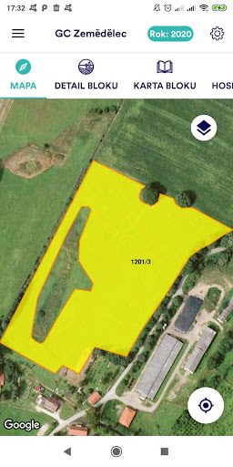
You also have a map viewer to verify the exact boundary of the soil blocks.
The map can be simply submerged by an aerial image, a base or erosion map, or another layer of WMS.
Part of the map is also a cadastral map with the possibility to find the data in CNC View.
Gaming Features
Enjoy immersive gaming experience with various game modes.
Productivity Tools
Boost your productivity with powerful tools and features.
Smart Home
Control and monitor your home with smart features.
See the GC ÚPRAVY® Zemědělec in Action
Get the App Today
Available for Android 8.0 and above